
Lakota topographic map
Interactive map
Click on the map to display elevation.
About this map
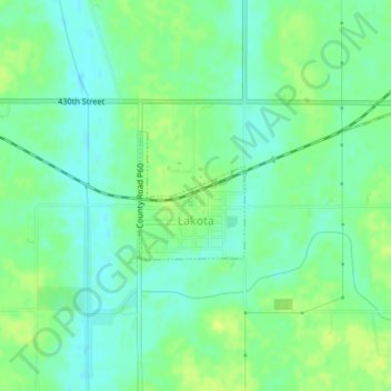
Name: Lakota topographic map, elevation, terrain.
Location: Lakota, Kossuth County, Iowa, États-Unis d'Amérique (43.37468 -94.09883 43.38355 -94.08881)
Average elevation: 347 m
Minimum elevation: 339 m
Maximum elevation: 355 m