
White topographic map
Interactive map
Click on the map to display elevation.
About this map
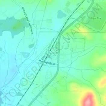
Name: White topographic map, elevation, terrain.
Location: White, Bartow County, Georgia, United States (34.27145 -84.75677 34.29412 -84.73538)
Average elevation: 271 m
Minimum elevation: 243 m
Maximum elevation: 366 m