
Isola topographic map
Interactive map
Click on the map to display elevation.
About this map
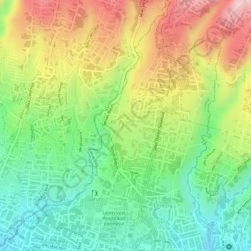
Name: Isola topographic map, elevation, terrain.
Location: Isola, Sukajadi, Bandung, West Java, Indonesia (-6.86483 107.58341 -6.83685 107.60023)
Average elevation: 975 m
Minimum elevation: 853 m
Maximum elevation: 1,123 m