Geolocate

Devín Castle topographic map

Click on the map to display elevation.

Devín Castle

The cliff (elevation 212 meters) is an ideal place for a fort due to its position at the confluence of the Danube and Morava rivers. The fort watches over an important trade route along the Danube as well as one branch of the Amber Road.

About this map
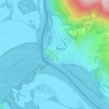
Name: Devín Castle topographic map, elevation, terrain.

Location: Devín Castle, Slovanské nábrežie, Devín, District of Bratislava IV, Bratislava, Region of Bratislava, 841 10, Slovakia (48.17147 16.97651 48.17476 16.98235)

Average elevation: 175 m

Minimum elevation: 137 m

Maximum elevation: 453 m

Gear up for your next adventure:

🧥Waterproof Hiking Jackets - Rain protection for walking in all weather conditions
🗺️Ordnance Survey Maps - Essential paper maps for hiking across the UK national parks
🍱Food Containers - Reusable containers for outdoor meals
🔪Outdoor Multi-Tools - Versatile tools for gear repairs and food prep in the wild
🥾Hiking Boot Waterproofing Wax - Maintain the lifespan of your leather trekking boots

As an Amazon Associate, this site earns from qualifying purchases at no extra cost to you.