
Ludewa topographic map
Interactive map
Click on the map to display elevation.
About this map
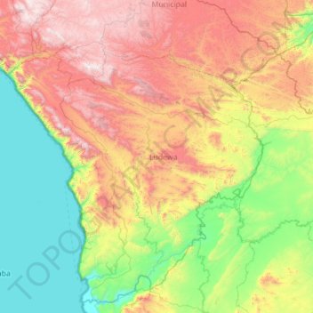
Name: Ludewa topographic map, elevation, terrain.
Location: Ludewa, Njombe, Southern Highlands Zone, Tanzania (-10.51044 34.13376 -9.53760 35.24931)
Average elevation: 1,167 m
Minimum elevation: 469 m
Maximum elevation: 2,515 m
Other topographic maps
Click on a map to view its topography, its elevation and its terrain.