
Benthuizen topographic map
Interactive map
Click on the map to display elevation.
About this map
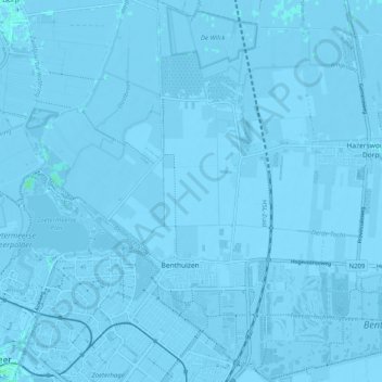
Name: Benthuizen topographic map, elevation, terrain.
Location: Benthuizen, Alphen am Rhein, Südholland, Niederlande (52.05857 4.53010 52.12043 4.60743)
Average elevation: -3 m
Minimum elevation: -9 m
Maximum elevation: 4 m
Other topographic maps
Click on a map to view its topography, its elevation and its terrain.
Koudekerk aan den Rijn
Niederlande > Südholland > Alphen am Rhein
Koudekerk aan den Rijn, Alphen am Rhein, Südholland, Niederlande
Average elevation: -1 m