
Marwood topographic map
Interactive map
Click on the map to display elevation.
About this map
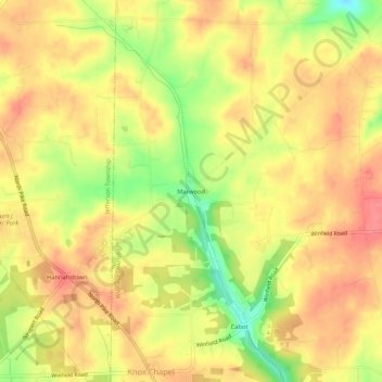
Name: Marwood topographic map, elevation, terrain.
Location: Marwood, Butler County, Pennsylvania, 16023, USA (40.75895 -79.79311 40.79895 -79.75311)
Average elevation: 400 m
Minimum elevation: 354 m
Maximum elevation: 427 m