
Katanga topographic map
Interactive map
Click on the map to display elevation.
About this map
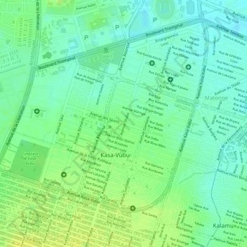
Name: Katanga topographic map, elevation, terrain.
Location: Katanga, Kasa-Vubu, Kinshasa, Democratic Republic of the Congo (-4.34805 15.30222 -4.33809 15.30943)
Average elevation: 293 m
Minimum elevation: 282 m
Maximum elevation: 303 m
Other topographic maps
Click on a map to view its topography, its elevation and its terrain.
Saïo
Democratic Republic of the Congo > Kinshasa
Saïo, Ngiri-Ngiri, Kinshasa, Democratic Republic of the Congo
Average elevation: 301 m
Lukaya
Democratic Republic of the Congo > Kinshasa > Kasa-Vubu 1
Lukaya, Kasa-Vubu 1, Mont Ngafula, Kinshasa, 31, Democratic Republic of the Congo
Average elevation: 313 m