
Crookham Common topographic map
Interactive map
Click on the map to display elevation.
About this map
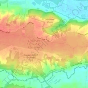
Name: Crookham Common topographic map, elevation, terrain.
Average elevation: 98 m
Minimum elevation: 65 m
Maximum elevation: 125 m
Other topographic maps
Click on a map to view its topography, its elevation and its terrain.
Thatcham
United Kingdom > England > West Berkshire > Thatcham
Thatcham, West Berkshire, England, United Kingdom
Average elevation: 94 m