
Green Mountain National Forest topographic map
Interactive map
Click on the map to display elevation.
About this map
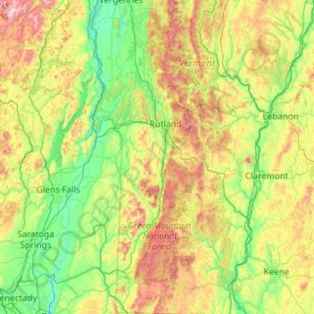
Name: Green Mountain National Forest topographic map, elevation, terrain.
Average elevation: 349 m
Minimum elevation: 3 m
Maximum elevation: 1,549 m