Geolocate

Duna Verde topographic map

Click on the map to display elevation.

About this map

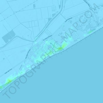
Name: Duna Verde topographic map, elevation, terrain.

Location: Duna Verde, Caorle, Venezia, Veneto, 30021, Italy (45.54639 12.78495 45.58639 12.82495)

Average elevation: -1 m

Minimum elevation: -5 m

Maximum elevation: 12 m

Gear up for your next adventure:

👖Hiking Trousers - Durable trousers designed for rough terrain
🎒Multi-day Trekking Packs - Large capacity backpacks for wild camping and long-distance trails
🌂Windproof Trekking Umbrellas - Surprising but effective rain protection on low-wind trails
🍱Food Containers - Reusable containers for outdoor meals
Camping Shelters - Emergency and lightweight shelters for outdoor use

As an Amazon Associate, this site earns from qualifying purchases at no extra cost to you.