
Ometochel topographic map
Interactive map
Click on the map to display elevation.
About this map
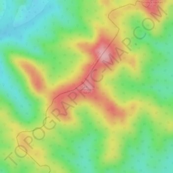
Name: Ometochel topographic map, elevation, terrain.
Location: Ometochel, Melekeok, Palau (7.52104 134.58164 7.52114 134.58174)
Average elevation: 92 m
Minimum elevation: 16 m
Maximum elevation: 175 m