Geolocate

Griesheim topographic map

Click on the map to display elevation.

About this map
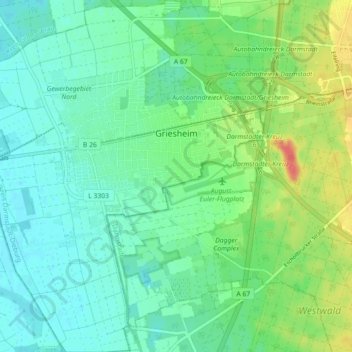
Name: Griesheim topographic map, elevation, terrain.

Location: Griesheim, Landkreis Darmstadt-Dieburg, Hesse, 64347, Germany (49.82554 8.51986 49.88342 8.60264)

Average elevation: 103 m

Minimum elevation: 87 m

Maximum elevation: 141 m

Gear up for your next adventure:

📦Compression Sacks - Reduce backpack volume efficiently
🔦Waterproof LED Headlamps - Hands-free lighting for evening treks and emergency navigation
👖Convertible Hiking Trousers - Versatile zip-off pants for changing mountain weather conditions
🥫Expedition Meals - Lightweight, high-calorie nutrition for long-distance hikers
🛌Sleeping Mats - Insulated mats for comfortable outdoor sleeping

As an Amazon Associate, this site earns from qualifying purchases at no extra cost to you.