
Griesheim topographic map
Interactive map
Click on the map to display elevation.
About this map
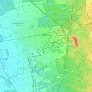
Name: Griesheim topographic map, elevation, terrain.
Location: Griesheim, Landkreis Darmstadt-Dieburg, Hesse, 64347, Germany (49.82554 8.51986 49.88342 8.60264)
Average elevation: 103 m
Minimum elevation: 87 m
Maximum elevation: 141 m
Other topographic maps
Click on a map to view its topography, its elevation and its terrain.
Seeheim-Jugenheim
Germany > Hesse > Landkreis Darmstadt-Dieburg > Seeheim-Jugenheim > Seeheim-Jugenheim
Average elevation: 213 m