
Al Maarri topographic map
Interactive map
Click on the map to display elevation.
About this map
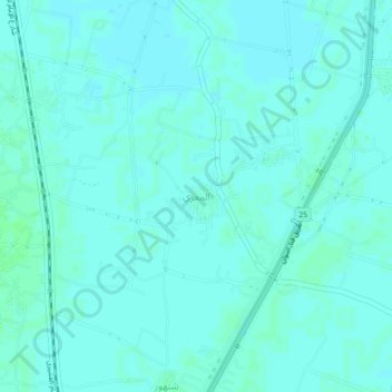
Name: Al Maarri topographic map, elevation, terrain.
Location: Al Maarri, Luxor, 83621, Egypt (25.85992 32.76125 25.89992 32.80125)
Average elevation: 75 m
Minimum elevation: 73 m
Maximum elevation: 79 m
Other topographic maps
Click on a map to view its topography, its elevation and its terrain.