Geolocate

Town of Roxbury topographic map

Interactive map

Click on the map to display elevation.

About this map

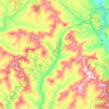
Name: Town of Roxbury topographic map, elevation, terrain.

Location: Town of Roxbury, Delaware County, New York, United States (42.20140 -74.68577 42.40399 -74.42828)

Average elevation: 641 m

Minimum elevation: 288 m

Maximum elevation: 1,087 m

Other topographic maps

Click on a map to view its topography, its elevation and its terrain.

Town of Delhi

United States > New York > Delaware County

Average elevation: 585 m

Downsville

United States > New York > Delaware County

Average elevation: 474 m

French Woods

United States > New York > Delaware County

Average elevation: 492 m

Arkville

United States > New York > Delaware County

Average elevation: 542 m

Horton

United States > New York > Delaware County

Average elevation: 499 m

Hobart

United States > New York > Delaware County > Hobart

Average elevation: 531 m

Stamford

United States > New York > Delaware County > Stamford

Average elevation: 598 m