
Simi topographic map
Interactive map
Click on the map to display elevation.
About this map
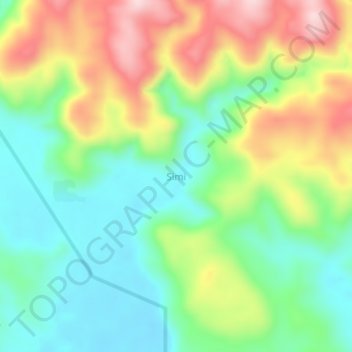
Name: Simi topographic map, elevation, terrain.
Location: Simi, East New Britain, Islands Region, Papua New Guinea (-5.99567 150.81359 -5.95567 150.85359)
Average elevation: 124 m
Minimum elevation: 7 m
Maximum elevation: 313 m
Other topographic maps
Click on a map to view its topography, its elevation and its terrain.