
Baal topographic map
Interactive map
Click on the map to display elevation.
About this map
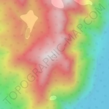
Name: Baal topographic map, elevation, terrain.
Location: Baal, Westland District, West Coast, Neuseeland (-44.16858 168.67156 -44.16848 168.67166)
Average elevation: 522 m
Minimum elevation: 38 m
Maximum elevation: 936 m