
县城 topographic map
Interactive map
Click on the map to display elevation.
About this map
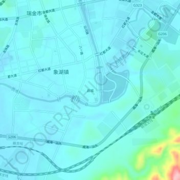
Name: 县城 topographic map, elevation, terrain.
Location: 县城, Xianghu, Ruijin, Ganzhou, Jiangxi, 342500, China (25.85138 116.01593 25.89138 116.05593)
Average elevation: 204 m
Minimum elevation: 186 m
Maximum elevation: 351 m