
Kibera topographic map
Click on the map to display elevation.
Kibera
The third complicating factor is the unyielding topography and cramped sprawl of the area. Few houses have vehicle access, and many are at the bottoms of steep inclines (which heightens the flooding risk). This means that any construction efforts are made more difficult and costly by the fact that all materials must be brought in by hand.
About this map
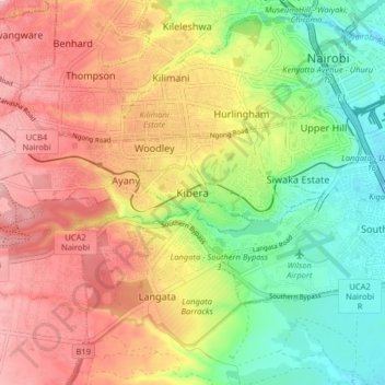
Name: Kibera topographic map, elevation, terrain.
Location: Kibera, Kambi Muru, Nairobi County, 00400, Kenya (-1.35133 36.74900 -1.27133 36.82900)
Average elevation: 1,735 m
Minimum elevation: 1,649 m
Maximum elevation: 1,821 m