Geolocate

Karoi topographic map

Click on the map to display elevation.

About this map

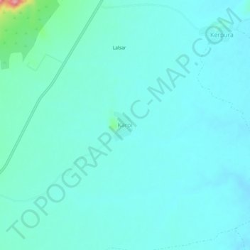
Name: Karoi topographic map, elevation, terrain.

Location: Karoi, Khandela Tehsil, Sikar, Rajasthan, 332709, India (27.62290 75.53482 27.66290 75.57482)

Average elevation: 453 m

Minimum elevation: 436 m

Maximum elevation: 565 m

Gear up for your next adventure:

🗺️Topographic Maps - Detailed maps showing elevation and terrain features
📍Handheld GPS Navigators - Reliable satellite navigation for hiking and off-road exploration
🧭GPS Trackers - Tracking devices for safety and navigation
🧼Biodegradable Soap - Leave-no-trace hygiene for multi-day mountain treks
🥤Collapsible Water Bottles - Save space in your rucksack as you consume your water

As an Amazon Associate, this site earns from qualifying purchases at no extra cost to you.