
La Alondra topographic map
Interactive map
Click on the map to display elevation.
About this map
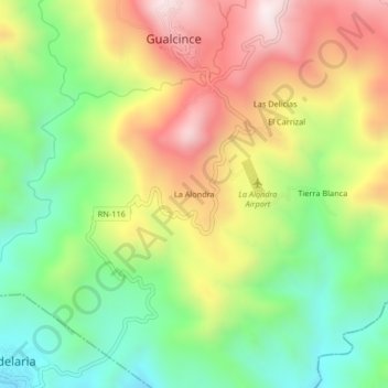
Name: La Alondra topographic map, elevation, terrain.
Location: La Alondra, Gualcince, Lempira, Honduras (14.08773 -88.56064 14.12773 -88.52064)
Average elevation: 949 m
Minimum elevation: 617 m
Maximum elevation: 1,364 m