
Kelian Intan topographic map
Interactive map
Click on the map to display elevation.
About this map
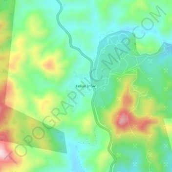
Name: Kelian Intan topographic map, elevation, terrain.
Location: Kelian Intan, Perak, Malaysia (5.61532 101.00437 5.65532 101.04437)
Average elevation: 390 m
Minimum elevation: 257 m
Maximum elevation: 655 m