
Los Almendros topographic map
Interactive map
Click on the map to display elevation.
About this map
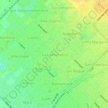
Name: Los Almendros topographic map, elevation, terrain.
Average elevation: 24 m
Minimum elevation: 10 m
Maximum elevation: 36 m
Other topographic maps
Click on a map to view its topography, its elevation and its terrain.
Misiones
Argentina > Buenos Aires > Bahía Blanca
Misiones, Bahía Blanca, Partido de Bahía Blanca, Buenos Aires, Argentina
Average elevation: 15 m