
Pucayaco topographic map
Interactive map
Click on the map to display elevation.
About this map
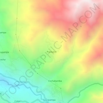
Name: Pucayaco topographic map, elevation, terrain.
Location: Pucayaco, San Luis, Carlos Fermín Fitzcarrald, Áncash, Perú (-9.08759 -77.34070 -9.04759 -77.30070)
Average elevation: 3,389 m
Minimum elevation: 2,750 m
Maximum elevation: 4,144 m