Geolocate

temple topographic map

Click on the map to display elevation.

About this map

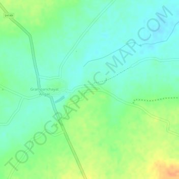
Name: temple topographic map, elevation, terrain.

Location: temple, Mohol, Solapur District, Maharashtra, India (17.89762 75.58002 17.89786 75.58058)

Average elevation: 474 m

Minimum elevation: 457 m

Maximum elevation: 499 m

Gear up for your next adventure:

🧺Ultralight Dry Bags - Organize and waterproof your gear inside your rucksack
👕Merino Base Layers - Natural temperature regulation for cold weather hiking and camping
🗺️Ordnance Survey Maps - Essential paper maps for hiking across the UK national parks
🪓Outdoor Multitools - Versatile tools for hiking and camping
🛌Sleeping Mats - Insulated mats for comfortable outdoor sleeping

As an Amazon Associate, this site earns from qualifying purchases at no extra cost to you.