
Caserío Indigena China topographic map
Interactive map
Click on the map to display elevation.
About this map
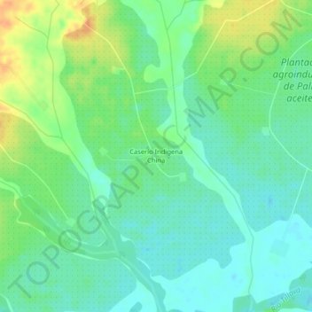
Name: Caserío Indigena China topographic map, elevation, terrain.
Average elevation: 158 m
Minimum elevation: 145 m
Maximum elevation: 179 m
Other topographic maps
Click on a map to view its topography, its elevation and its terrain.
Puerto Gaitán
Colombia > Meta > Puerto Gaitán
Puerto Gaitán, Puerto Carreño, Rio Meta, Meta, 86084, Colombia
Average elevation: 161 m