
Estación Manuel topographic map
Interactive map
Click on the map to display elevation.
About this map
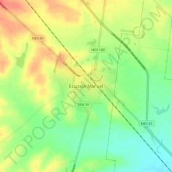
Name: Estación Manuel topographic map, elevation, terrain.
Location: Estación Manuel, González, Tamaulipas, México (22.68658 -98.35893 22.76658 -98.27893)
Average elevation: 73 m
Minimum elevation: 48 m
Maximum elevation: 103 m