
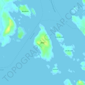
Nottö topographic map
Interactive map
Click on the map to display elevation.
About this map
Name: Nottö topographic map, elevation, terrain.
Location: Nottö, Brändö, Ålands skärgård, Landskapet Åland, Finlande (60.29330 21.00599 60.30541 21.01938)
Average elevation: 1 m
Minimum elevation: -1 m
Maximum elevation: 19 m