
Mugalivakkam topographic map
Interactive map
Click on the map to display elevation.
About this map
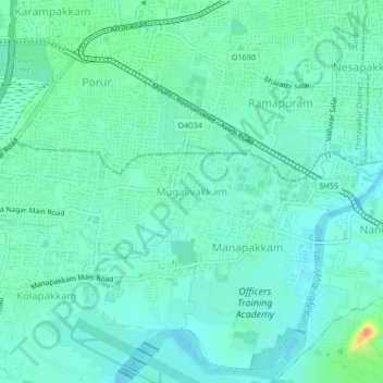
Name: Mugalivakkam topographic map, elevation, terrain.
Location: Mugalivakkam, Alandur, Chennai, Tamil Nadu, 600125, India (13.00058 80.14852 13.04058 80.18852)
Average elevation: 14 m
Minimum elevation: 4 m
Maximum elevation: 49 m
Other topographic maps
Click on a map to view its topography, its elevation and its terrain.