
Orchard Grass Hills topographic map
Interactive map
Click on the map to display elevation.
About this map
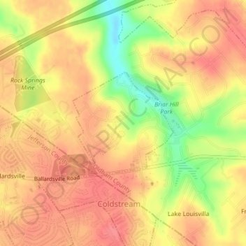
Name: Orchard Grass Hills topographic map, elevation, terrain.
Location: Orchard Grass Hills, Oldham County, Kentucky, United States (38.31802 -85.53034 38.32927 -85.51625)
Average elevation: 214 m
Minimum elevation: 170 m
Maximum elevation: 235 m
Other topographic maps
Click on a map to view its topography, its elevation and its terrain.