
Olivet topographic map
Interactive map
Click on the map to display elevation.
About this map
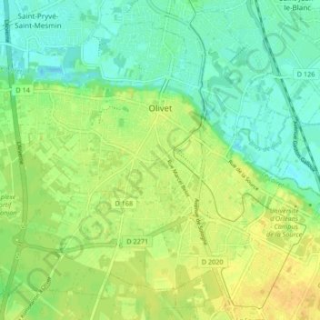
Name: Olivet topographic map, elevation, terrain.
Average elevation: 102 m
Minimum elevation: 90 m
Maximum elevation: 114 m
Other topographic maps
Click on a map to view its topography, its elevation and its terrain.
La Porte, Château
France > Centre-Val de Loire > Loiret > Autruy-sur-Juine > La Porte
Average elevation: 121 m