
Kayarda topographic map
Interactive map
Click on the map to display elevation.
About this map
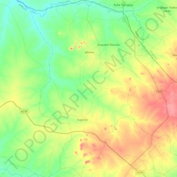
Name: Kayarda topographic map, elevation, terrain.
Location: Kayarda, Lere, Kaduna State, Nigeria (10.42702 8.52987 10.64507 8.66581)
Average elevation: 772 m
Minimum elevation: 699 m
Maximum elevation: 892 m