
Yiba topographic map
Interactive map
Click on the map to display elevation.
About this map
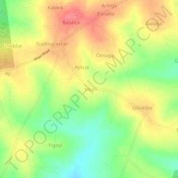
Name: Yiba topographic map, elevation, terrain.
Location: Yiba, Yumbe, Northern Region, Uganda (3.38206 31.10006 3.42206 31.14006)
Average elevation: 1,016 m
Minimum elevation: 977 m
Maximum elevation: 1,049 m
Other topographic maps
Click on a map to view its topography, its elevation and its terrain.