Argen topographic map
Click on the map to display elevation.
Argen
About 200 metres (660 ft) below the Gießenbrücke bridge in Kressbronn (river km 5.8), a water level measuring station exists on the Kressbronn side of the river. It is operated by the "Flood Forecasting Centre Baden-Württemberg," the "State Institute for Environment, Measurements and Nature Conservation Baden-Württemberg," and by the Regierungsbezirk Tübingen. The zero level for this station is at an elevation of 420.13 metres (1,378.4 ft).
About this map
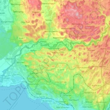
Name: Argen topographic map, elevation, terrain.
Location: Argen, Lake Constance district, Baden-Württemberg, Germany (47.58757 9.54565 47.65477 9.74473)
Average elevation: 470 m
Minimum elevation: 391 m
Maximum elevation: 615 m
Other topographic maps
Click on a map to view its topography, its elevation and its terrain.
Andelshofen
Germany > Baden-Württemberg > Lake Constance district > Überlingen
Average elevation: 482 m