
Dospat topographic map
Click on the map to display elevation.
Dospat
The town was probably founded by Despot Alexius Slav in the 12th or 13th century, from whose title (despot) its name is very likely derived. Dospat Dam is the highest dam in Bulgaria by altitude and, with its 22 km2 of water area, the second largest in capacity. It is fed by the River Dospat. At the bottom of the lake is a former German military airport from the Second World War.
About this map
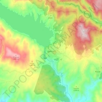
Name: Dospat topographic map, elevation, terrain.
Location: Dospat, Smolyan, 4831, Bulgaria (41.60836 24.11933 41.68836 24.19933)
Average elevation: 1,304 m
Minimum elevation: 1,058 m
Maximum elevation: 1,647 m