
Téfam topographic map
Interactive map
Click on the map to display elevation.
About this map
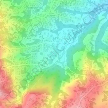
Name: Téfam topographic map, elevation, terrain.
Location: Téfam, Toula, Bayangam, Nkoung-Khi, West, Cameroon (5.25527 10.46239 5.27527 10.48239)
Average elevation: 1,458 m
Minimum elevation: 1,382 m
Maximum elevation: 1,563 m