
Omahu topographic map
Interactive map
Click on the map to display elevation.
About this map
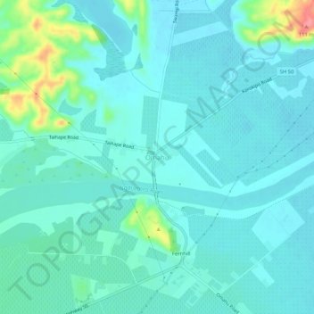
Name: Omahu topographic map, elevation, terrain.
Location: Omahu, Hastings District, Hawke's Bay, 4175, New Zealand (-39.60339 176.74140 -39.56339 176.78140)
Average elevation: 31 m
Minimum elevation: 16 m
Maximum elevation: 104 m
Other topographic maps
Click on a map to view its topography, its elevation and its terrain.