
Baghmara-Cum-Katras topographic map
Interactive map
Click on the map to display elevation.
About this map
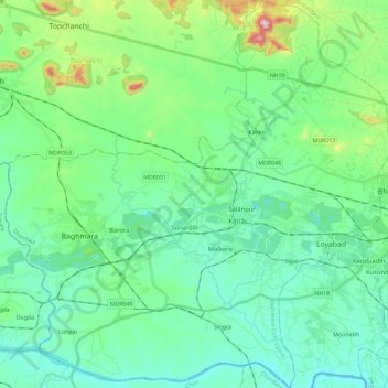
Name: Baghmara-Cum-Katras topographic map, elevation, terrain.
Location: Baghmara-Cum-Katras, Dhanbad, Jharkhand, India (23.70657 86.16004 23.91751 86.38962)
Average elevation: 227 m
Minimum elevation: 133 m
Maximum elevation: 583 m
Other topographic maps
Click on a map to view its topography, its elevation and its terrain.