
Baesweiler topographic map
Interactive map
Click on the map to display elevation.
About this map
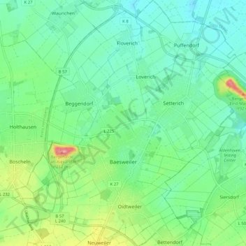
Name: Baesweiler topographic map, elevation, terrain.
Average elevation: 122 m
Minimum elevation: 93 m
Maximum elevation: 200 m
Other topographic maps
Click on a map to view its topography, its elevation and its terrain.
Schevenhütte
Germany > North Rhine-Westphalia > Städteregion Aachen > Stolberg
Average elevation: 244 m
Bend
Germany > North Rhine-Westphalia > Städteregion Aachen > Stolberg > Schevenhütte
Average elevation: 267 m