
Rer topographic map
Interactive map
Click on the map to display elevation.
About this map
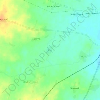
Name: Rer topographic map, elevation, terrain.
Location: Rer, Mavli Tehsil, Udaipur District, Rajasthan, 313200, India (24.76467 73.91863 24.80467 73.95863)
Average elevation: 513 m
Minimum elevation: 499 m
Maximum elevation: 534 m