
Lere South topographic map
Interactive map
Click on the map to display elevation.
About this map
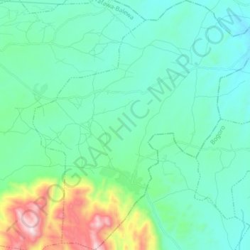
Name: Lere South topographic map, elevation, terrain.
Location: Lere South, Tafawa-Balewa, Bauchi State, Nigeria (9.59155 9.36993 9.72883 9.50856)
Average elevation: 892 m
Minimum elevation: 698 m
Maximum elevation: 1,705 m
Other topographic maps
Click on a map to view its topography, its elevation and its terrain.