
't Lo topographic map
Interactive map
Click on the map to display elevation.
About this map
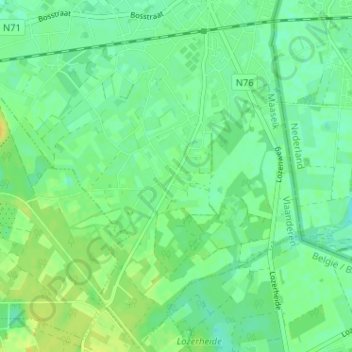
Name: 't Lo topographic map, elevation, terrain.
Location: 't Lo, Hamont, Hamont-Achel, Maaseik, Limburg, 3930, België (51.20962 5.51749 51.24962 5.55749)
Average elevation: 38 m
Minimum elevation: 29 m
Maximum elevation: 49 m