Geolocate

Al Hamriyah topographic map

Click on the map to display elevation.

About this map

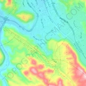
Name: Al Hamriyah topographic map, elevation, terrain.

Location: Al Hamriyah, Muscat, Muscat Governorate, 117, Oman (23.56063 58.52544 23.60063 58.56544)

Average elevation: 110 m

Minimum elevation: 20 m

Maximum elevation: 297 m

Gear up for your next adventure:

🍱Food Containers - Reusable containers for outdoor meals
🧴Tick Removal Tools - Small, essential health tool for UK woodland and moorland
🧼Technical Clothing Wash - Special soap to clean and restore waterproof membranes
🧣Fleece Neck Warmers - Extra insulation for winter topographic surveys
📢Survival Whistles - Essential safety gear for signaling for help in mountain fog

As an Amazon Associate, this site earns from qualifying purchases at no extra cost to you.