
Make a donation
Gear up for your next adventure:
As an Amazon Associate, this site earns from qualifying purchases at no extra cost to you.
Goregaon topographic map
Click on the map to display elevation.
Make a donation
Gear up for your next adventure:
As an Amazon Associate, this site earns from qualifying purchases at no extra cost to you.
Goregaon
Goregaon is located in the south-west of India at 18°10′N 73°18′E / 18.17°N 73.3°E / 18.17; 73.3. The average elevation is 28 metres (92 ft).
Make a donation
Gear up for your next adventure:
As an Amazon Associate, this site earns from qualifying purchases at no extra cost to you.
About this map
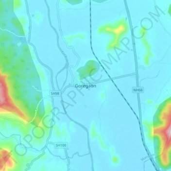
Name: Goregaon topographic map, elevation, terrain.
Location: Goregaon, Mangaon Taluka, Raigad, Maharashtra, 402103, India (18.11372 73.25506 18.19372 73.33506)
Average elevation: 38 m
Minimum elevation: 0 m
Maximum elevation: 370 m
Make a donation
Gear up for your next adventure:
As an Amazon Associate, this site earns from qualifying purchases at no extra cost to you.