
Ganga lake topographic map
Interactive map
Click on the map to display elevation.
About this map
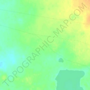
Name: Ganga lake topographic map, elevation, terrain.
Location: Ganga lake, Ganga nuur, Dariganga, Sükhbaatar, Mongolia (45.28261 113.97238 45.28271 113.97248)
Average elevation: 1,298 m
Minimum elevation: 1,283 m
Maximum elevation: 1,314 m