
San Martin topographic map
Interactive map
Click on the map to display elevation.
About this map
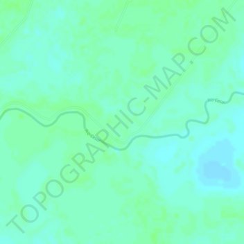
Name: San Martin topographic map, elevation, terrain.
Location: San Martin, El Paso, Cesar, RAP Caribe, Colombia (9.57456 -73.73967 9.59456 -73.71967)
Average elevation: 35 m
Minimum elevation: 30 m
Maximum elevation: 38 m