
Bugoye topographic map
Interactive map
Click on the map to display elevation.
About this map
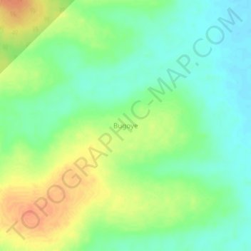
Name: Bugoye topographic map, elevation, terrain.
Location: Bugoye, Nakaseke, Central Region, Uganda (1.14667 32.31333 1.18667 32.35333)
Average elevation: 1,064 m
Minimum elevation: 1,046 m
Maximum elevation: 1,087 m