
Musho topographic map
Interactive map
Click on the map to display elevation.
About this map
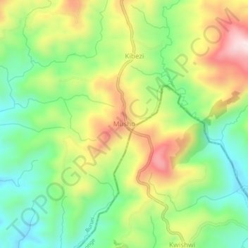
Name: Musho topographic map, elevation, terrain.
Location: Musho, Bururi, Burundi (-3.74231 29.53944 -3.70231 29.57944)
Average elevation: 2,034 m
Minimum elevation: 1,846 m
Maximum elevation: 2,298 m