Geolocate

Burrows topographic map

Click on the map to display elevation.

About this map

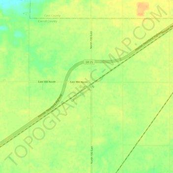
Name: Burrows topographic map, elevation, terrain.

Location: Burrows, Carroll County, Indiana, 46916, United States (40.65671 -86.52750 40.69671 -86.48750)

Average elevation: 213 m

Minimum elevation: 195 m

Maximum elevation: 224 m

Other topographic maps

Click on a map to view its topography, its elevation and its terrain.

Delphi

United States > Indiana > Carroll County

Average elevation: 179 m

Delphi

United States > Indiana > Carroll County

Average elevation: 179 m

Gear up for your next adventure:

🖼️Topographic Map Art - Decorative 3D-effect posters of famous UK peaks and regions
🐕Hiking Dog Harnesses - Rugged harnesses for taking your companion on mountain trails
🛰️Handheld GPS Devices - Reliable GPS units for hiking and outdoor navigation
🥤Hiking Water Bottles - Reusable bottles for hydration on the trail
🦟Anti-Midge & Tick Repellent - Vital for hiking in the Scottish Highlands during summer

As an Amazon Associate, this site earns from qualifying purchases at no extra cost to you.